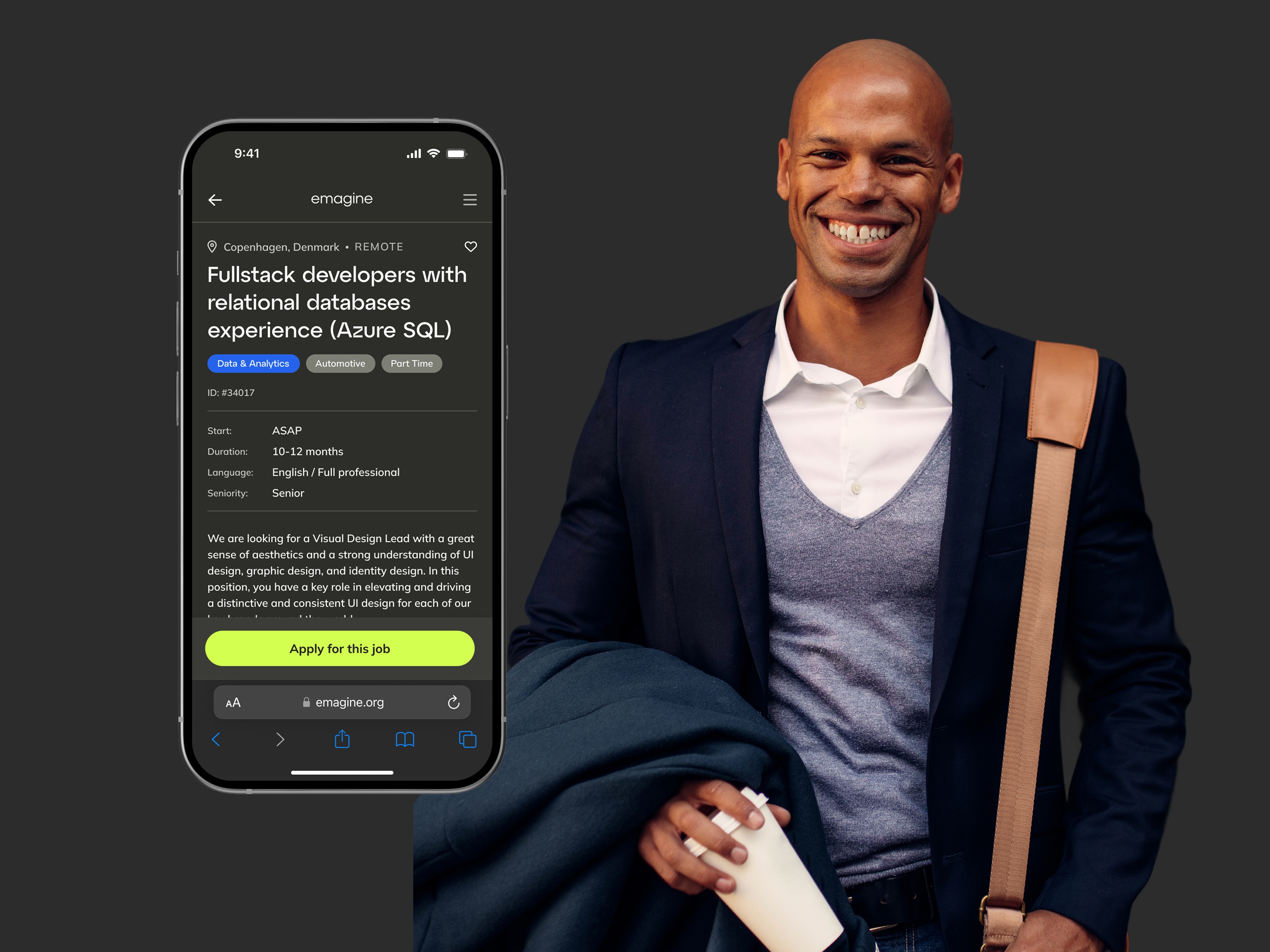
emagineConsultant and agency portal
Redesigning the self-service portal for thousands of independent consultants
IT Consulting

COOLCITY
A platform helping city planners and local governments understand,
visualise and act on urban heat, flood risk data and other climate challenges
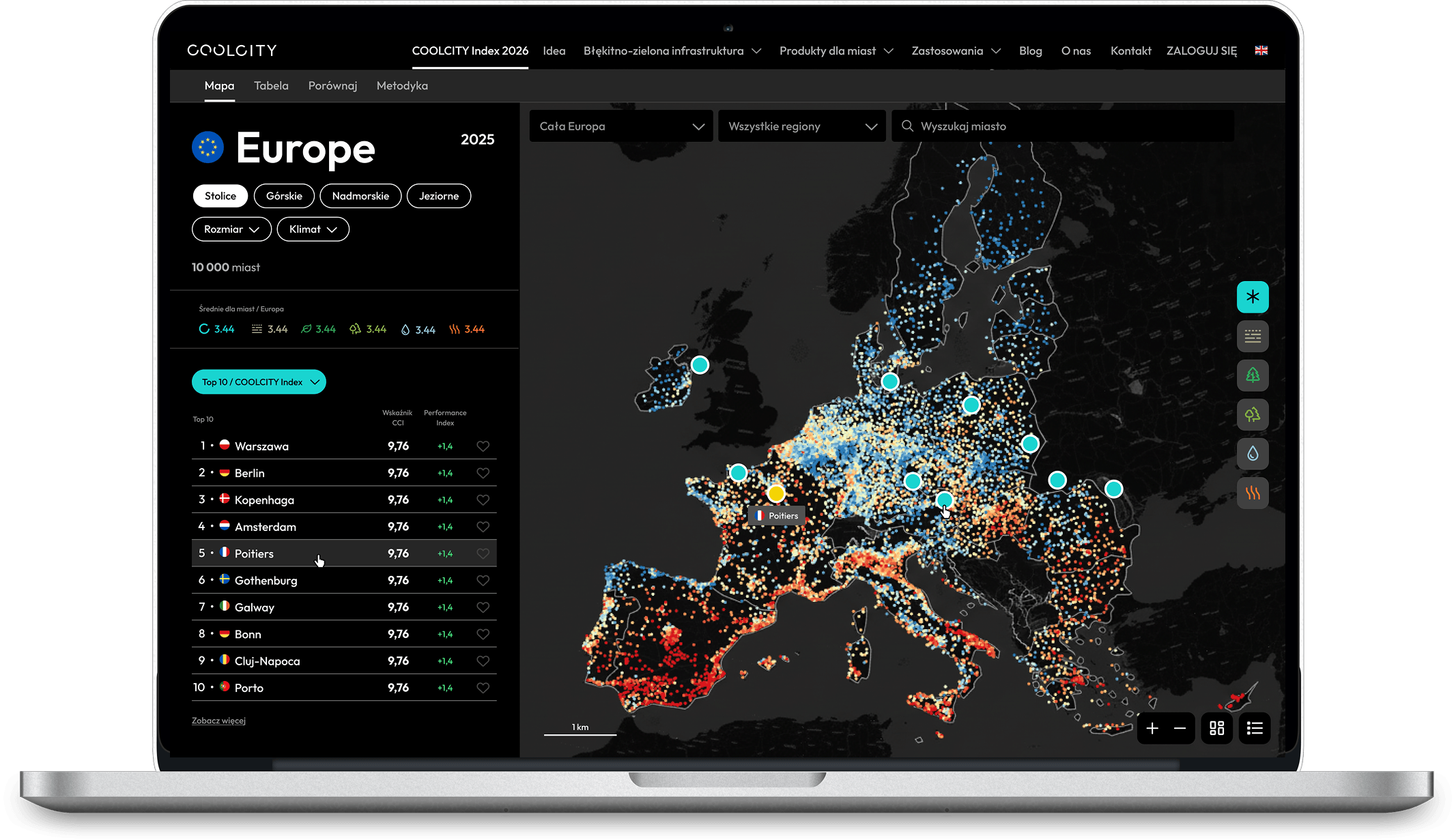
COOLCITY is a climate adaptation ecosystem for European municipalities,
combining a public website, visual identity and three connected digital tools:
CC Index, CC View and CC Design.
Together, the tools take municipalities from understanding climate risk, through investigating local environmental conditions, towards exploring possible interventions and planning decisions.
The challenge was to turn very different layers — climate data, geospatial analysis, public communication and planning support — into one coherent product family. The tools needed to serve both municipal decision-makers and expert users without oversimplifying the underlying data.
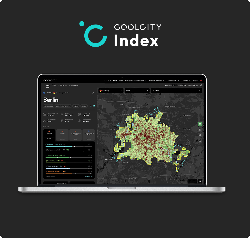
A European-scale benchmarking tool measuring the climate adaptation potential of 11,000+ cities across five key challenges: surface permeability, vegetation, biodiversity, water and thermal conditions. It turns satellite data into a clear, comparable view of where a city stands — and how it performs against cities with similar conditions.
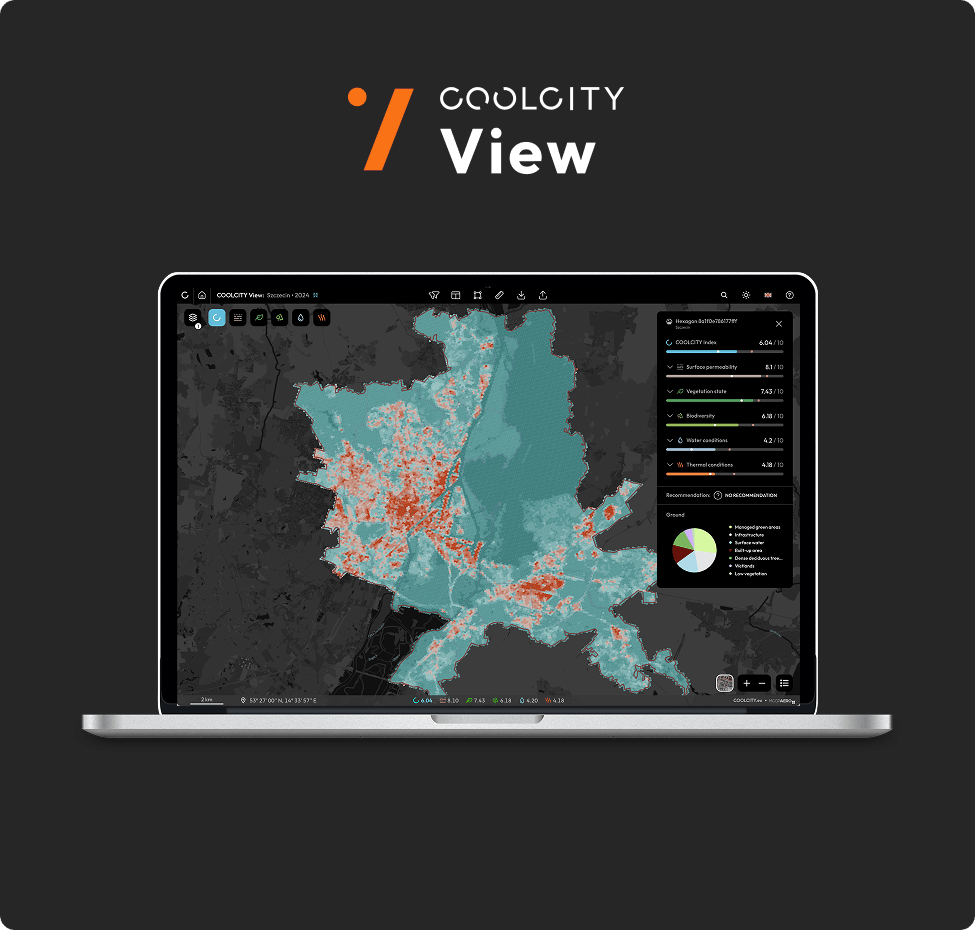
A spatial diagnosis tool that moves from city-level benchmarking to understanding where climate challenges occur locally. Using satellite data, LiDAR and environmental indicators, it maps conditions across the city, identifies priority areas and translates analysis into recommendations for protecting, introducing or improving blue-green infrastructure.
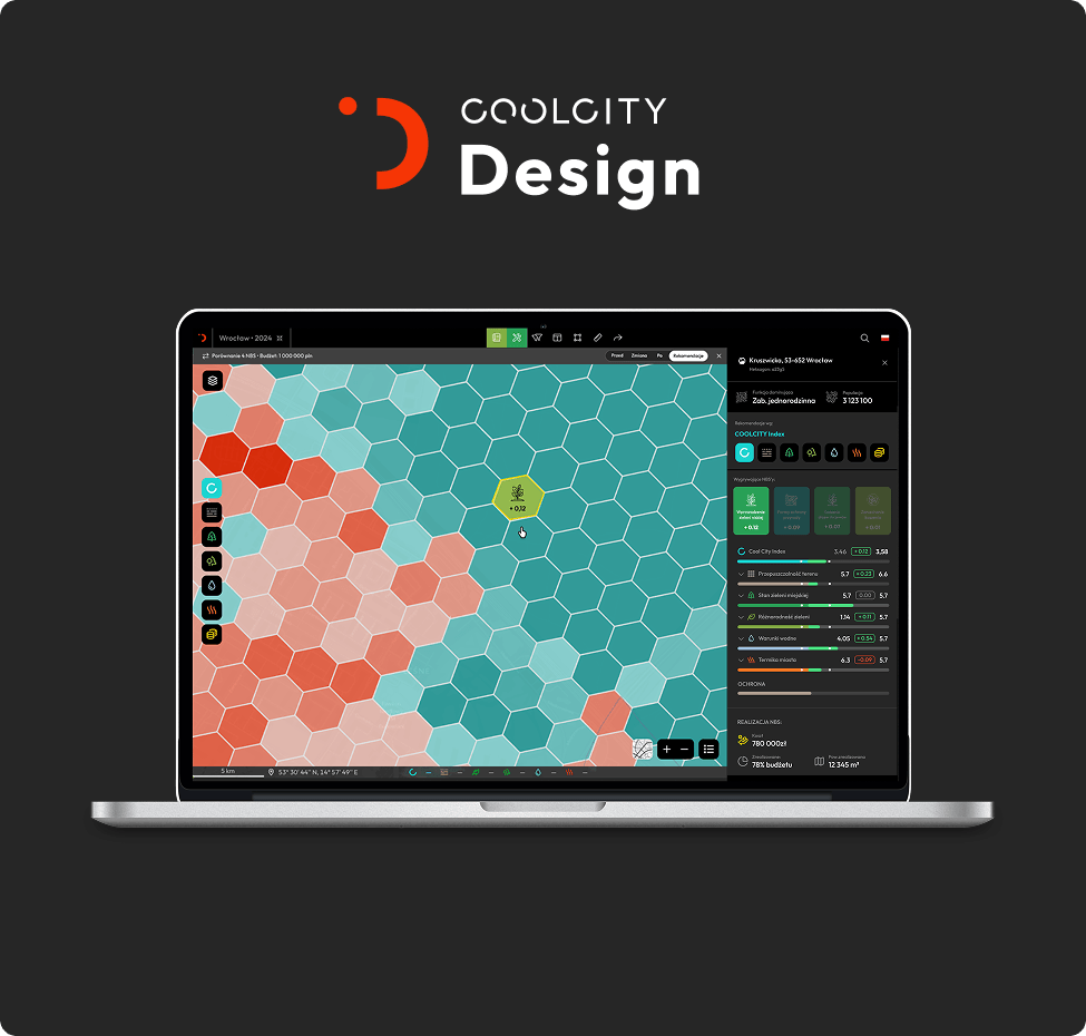
A planning and decision-support tool that turns diagnosis into concrete climate adaptation scenarios. Using detailed spatial data, it helps planners explore nature-based solutions, compare interventions and assess their expected environmental impact, feasibility and cost — from tree planting and unsealing to larger blue-green infrastructure projects.
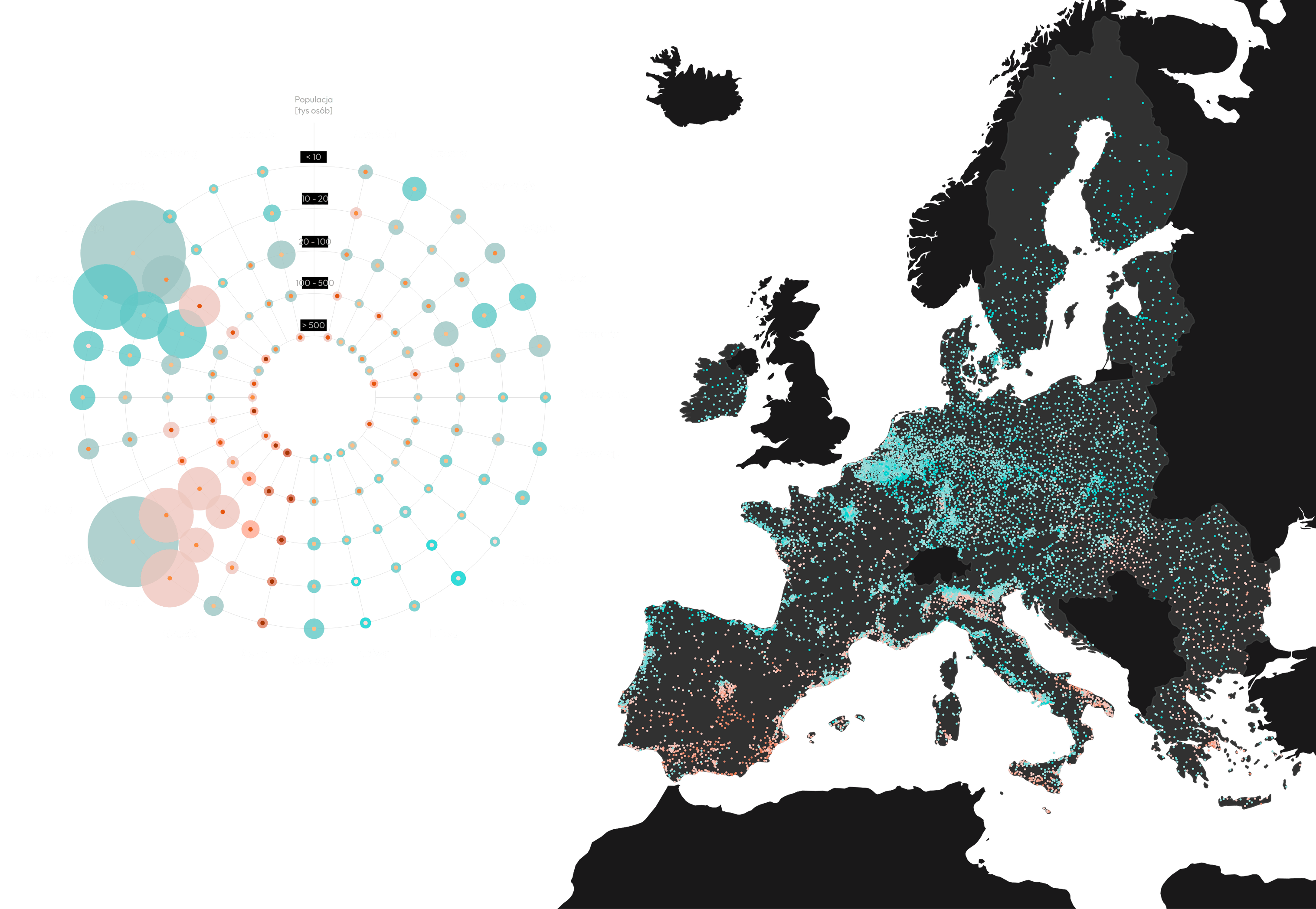
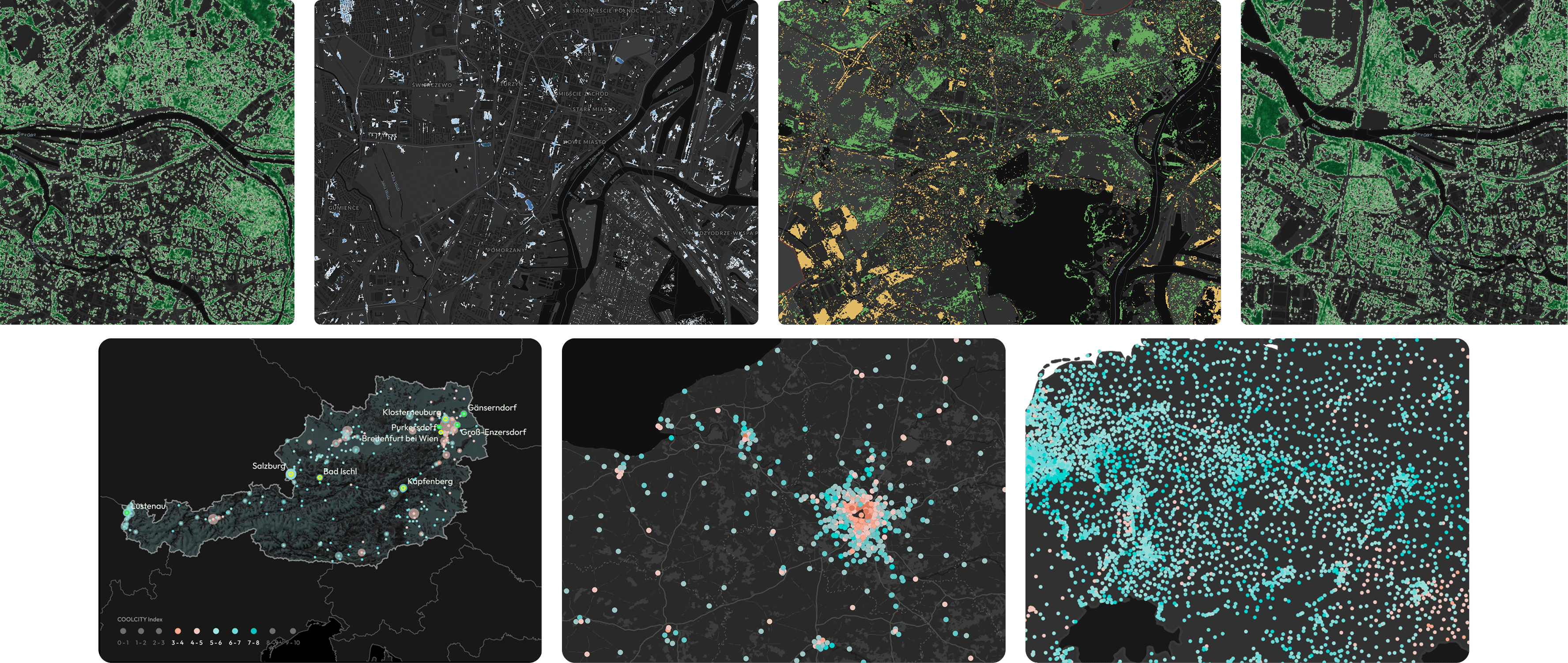
Infographics + Colour palettes
I shaped the experience across the entire ecosystem — from brand strategy and the public website to product architecture and UX/UI for CC Index, CC View and CC Design. My role was to create a shared logic and visual language that could work across communication, maps, data visualisation and planning tools.
The three tools became a connected journey from benchmarking → diagnosis → action, guiding municipalities from understanding climate risk to investigating local conditions and testing possible interventions.
Rather than simplifying the climate data itself, we structured the ecosystem around progressive levels of detail.
Municipal decision-makers could start with a clear overview of risk, while expert users could move deeper into spatial data, environmental indicators and planning scenarios. A shared interaction and visual language connected the three tools without forcing them into the same level of complexity.
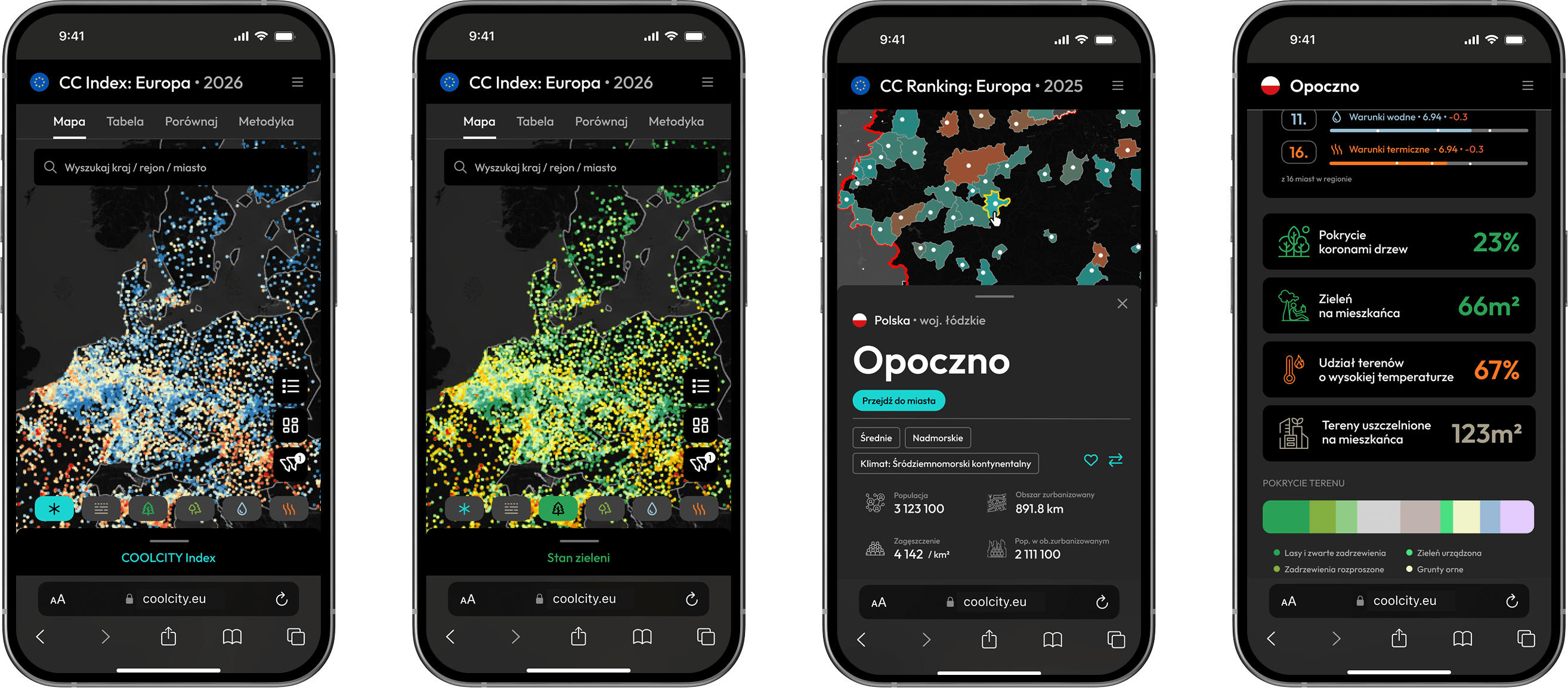
Mobile data organisation
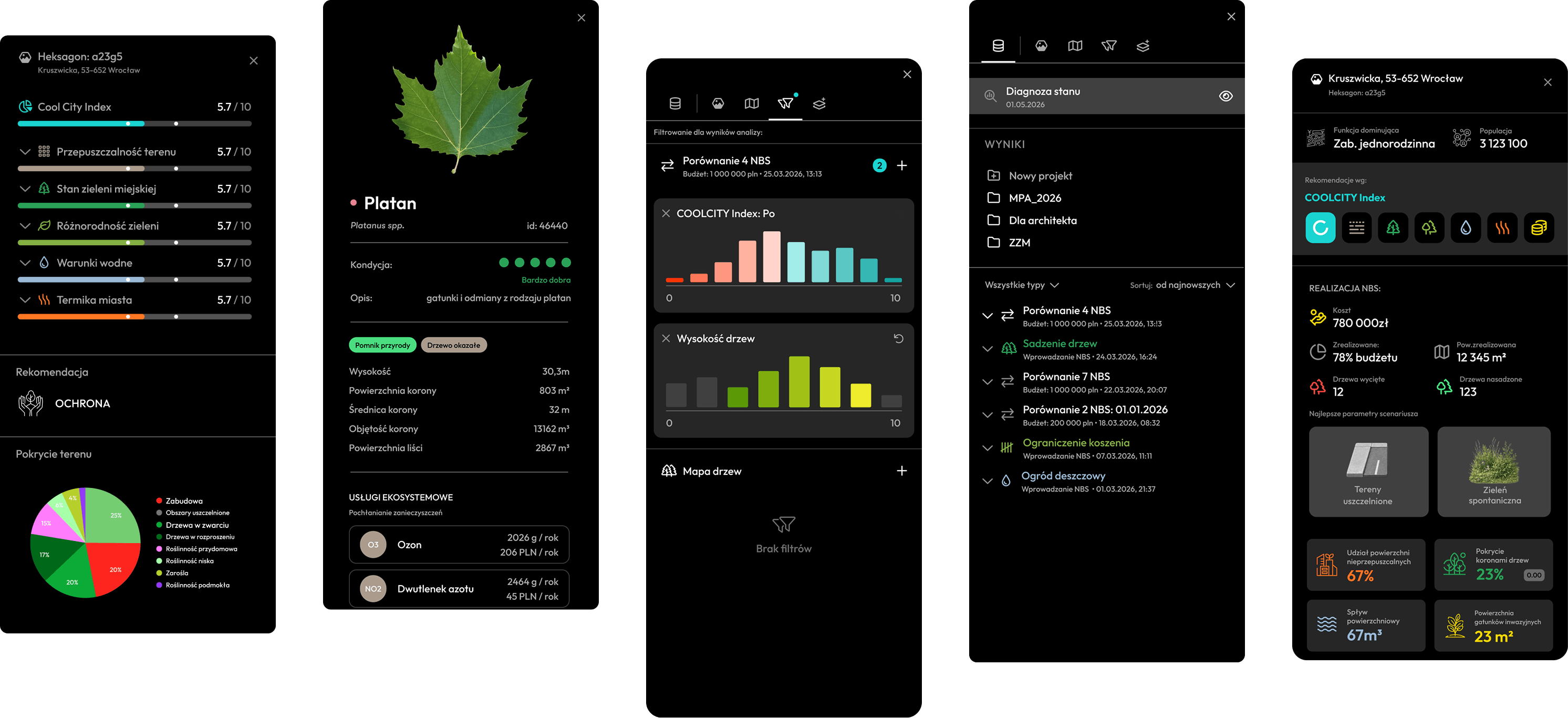
Multichannel access
Cartographic styling
I’m a Senior Product Designer with over ten years' experience crafting digital products in regulated, complex domains, including leading product design teams and complex initiatives from product architecture through delivery.
I specialise in data-heavy applications, design systems and mobile experiences — areas where the challenge is not just how something looks, but how it holds together under real conditions.
Outside product design, I keep coming back to photography, architecture,
book design and typography - disciplines that continue to shape
how I think about structure, composition and detail.
I work end-to-end - from framing product problems and setting design direction to structuring complex flows, prototyping, interface design and design systems.
Depending on the project, I work both as a hands-on product designer and as a design lead, aligning designers around a shared direction while staying close to users, product, engineering and implementation. I use research, rapid prototyping and AI-assisted workflows
to explore, test and refine solutions.
I’m available for freelance projects,
full-time roles, and collaborations